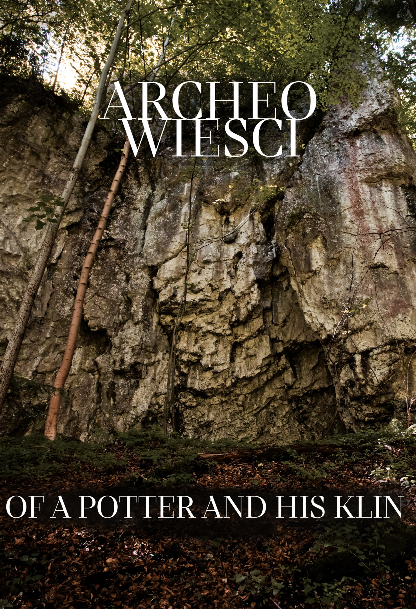
You thought only cavemen lived in caves? What about a 19th-century potter?
Today, the people who take a walk in the Sąspowska Valley in the heart of Ojców National Park find it difficult to believe that just 100-200 years ago there were more than ten farms scattered on both sides of the Sąspówka stream that wound on the bottom of the valley. One of the households was situated near the outlet of Jamki Gully, directly below vertical rocks that are more than 20 m high. This household is marked on a map of Western Galicia, drawn in 1801-1804 by the Austrian colonel Anton Mayer von Heldensfeld after the annexation of this territory by Austria-Hungary. There were three or four small structures on the right bank of the stream.
The rock is slightly concave in this place and it forms a relatively spacious shelter. On one side there is a slit in the rock that resembles a vertical chimney, which is not insignificant for our story.

