The length of the period of breastfeeding depends on many factors, both individual and cultural or environmental ones. In human societies that have no access to easily digested food alternatives (this refers to foragers in particular) this period is usually longer, while in farming communities, where infants are fed with porridge or yoghurt, it can be shortened. This implies demographic consequences: a mother who breastfeeds her child for a shorter time can have more children, therefore, the breastfeeding period influences the birth rate.
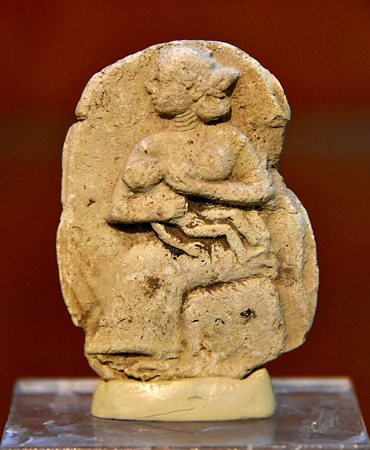
© Osama Shukir Muhammed Amin FRCP(Glasg)
published under CC BY-SA 4.0, via Wikimedia Commons
Continue reading “How long did women in the ancient Near East breastfeed?”